|
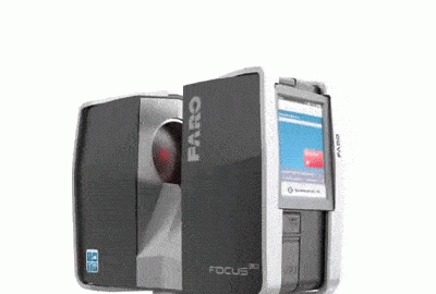
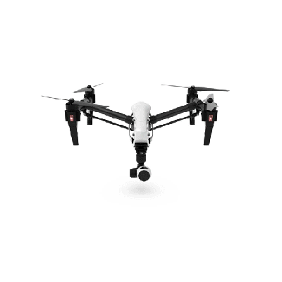
Ditch measuring tape and lasers for one, faster, more accurate, single source of truth. LiDAR scanning, similar to the process of taking site photos, utilizes lasers and photos to create a 3D colorized representation of a site either using a tripod, wearable, or drone mounted hardware. This data is processed and used as reference to compare site progress, develop 3D models for construction, gaming, etc., and at an accuracy of 1/16”-1/4”
SCANNING
|
 PHOTOS
|
 3D MODEL
|
 DRAWINGS
|
 ABOUT
ABOUT
|
|
|
 |
 |
 |
|
|
TERRESTRIAL
|
SLAM
|
DRONE
|
|